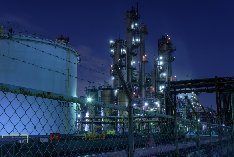
Oil and Gas Industry
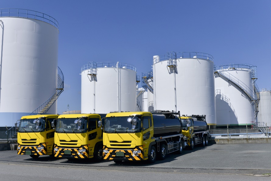
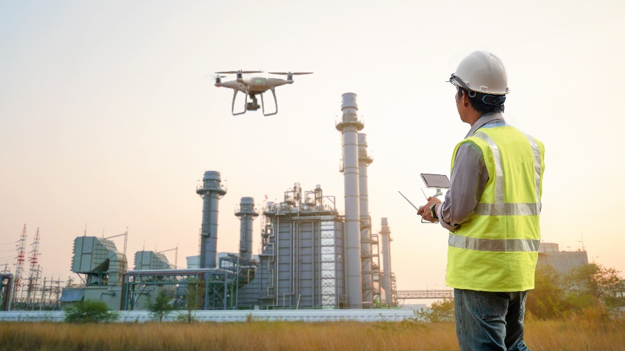
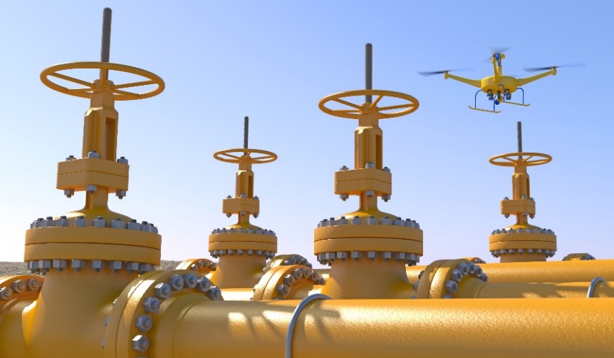
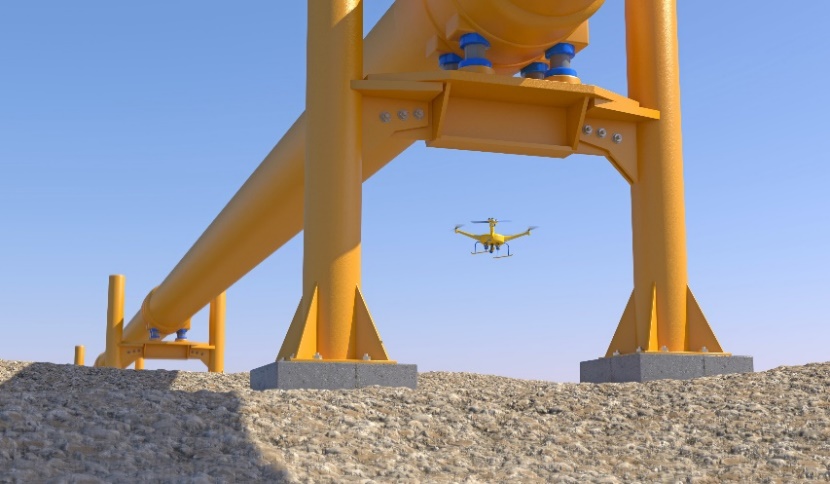
Drones and remote aerial sensing are primarily used in the oil and gas industry for inspections of infrastructure. This infrastructure includes, equipment, tankers and trucks, storage tanks, pipelines, and other assets. Drones can provide a 360-degree view for monitoring field operations.
Latest advancements in sensing and imaging technologies are enabling drones to be deployed in a wide range of settings. They are now often used for perimeter security, and in performing inspection and predictive maintenance of critical miles-long infrastructure. Recent changes in the FAA process for gaining Beyond Visual Line of Sight (BVLOS) certifications will enable autonomous inspections by drone of pipelines.
Some past experience includes:
- Mapping the Alaska oil pipeline
- Underground pipeline mapping
- Change detection/right-of-way intrusion
- Emergency response, including the BP gulf oil spill
- Pipeline integrity management – detection of leaks
- Environmental analysis
- Compliancy audits
Icaros is currently collaborating with oil and gas companies in the following ways:
- Custom artificial intelligence and machine learning solutions. We work with a large number of expert technology providers in this field and have integrated AI/ML solutions into applications to automate image scanning to recognized serial numbers on assets, detect anomalies like cracks and rust, and to recognize important features that are difficult and time consuming to find with the naked eye.
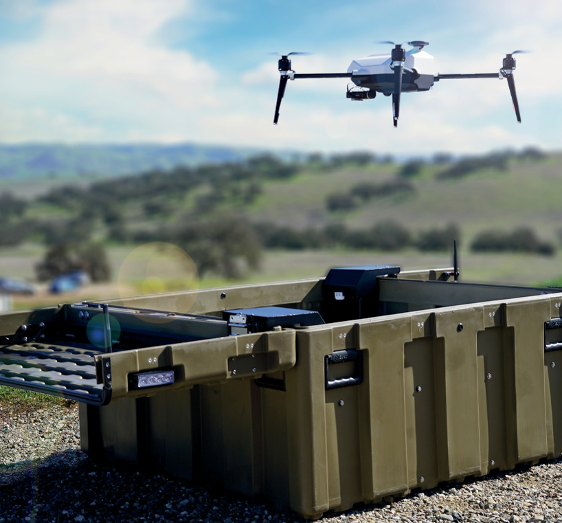
- Our drone-in-a-box solutions are ideal for both autonomous and tethered deployments. These systems can be deployed to provide perimeter security, incident/emergency response, collect inspections data, and perform BVLOS data collection applications (see drone-in-a-box solutions on this site).
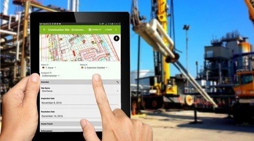
- For clients who don’t have drones or remote sensing experience, we can provide certified pilots, drones, and sensors to collect video, LIDAR, ground penetrating radar (GPR) and a wide multitude of other data types. We can also process your data into high quality geospatially accurate orthomosaic maps or 3D models. These maps and models can be used/viewed in your existing GIS, or maintenance applications.
REMOTE MONITORING AND SURVEILLANCE
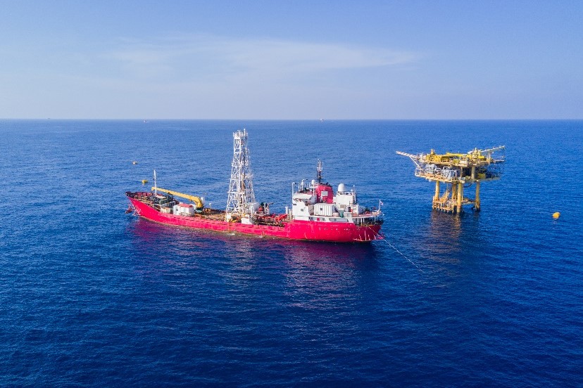
Drones can provide a 360-degree view for monitoring field operations. They can also observe the progress of facilities that are under construction and provide encroachment detection. Remote monitoring using drones is also enabling oil and gas companies to inspect unmanned production platforms.
INSPECTION AND PREDICTIVE MAINTENANCE
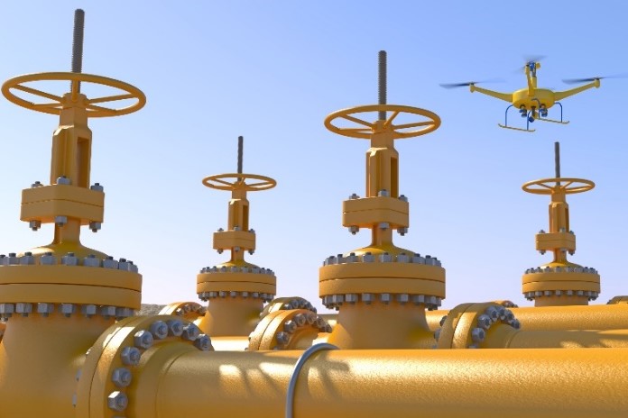
A comprehensive drone solution can be customized to include ultrasonic sensors and visual inspection technologies, such as cameras and thermal imagers These are used for carrying out a close-range nondestructive inspection of oil and gas assets to detect flaws or defects. This kind of approach is proving to be very efficient in the evaluation of pipelines, exterior surfaces, and sub-surfaces of storage tanks, and marine vessels. Merging drone data with advanced data analytics also allows companies to predict the current health of the equipment and project potential malfunctions.
METHANE MANAGEMENT
Oil and gas companies are targeting methane reductions from operations to lend their support to the worldwide campaign against climate change and global warming. To achieve these objectives, companies are investing in a wide range of sensing technologies. These can be either permanently installed on the target asset, or mounted on drones, for obtaining real-time data. New sensors become available all the time, and there’s even a company that is developing laser-based sensors for detecting methane leaks.
EMERGENCY RESPONSE
Drones can provide a bird’s eye view of developments in the event of an industrial accident or a natural disaster. Real-time drone imagery and video analytics can also assist in mapping oil spills or fire incidents. This can enable companies in coordinating emergency response and directing resources to the right places while ensuring personnel safety.
MATERIAL HANDLING
Technology companies worldwide are experimenting with the reliability of drones for delivering products in VLOS and BVLOS scenarios. This use of drones could be adopted in the context of oil and gas as well, to transport payloads to production platforms located nearby. Although restriction on the size and weight of the payload may limit the usability of drones in this situation, it can certainly be considered as an option for delivering smaller objects.
PLANNING, MAINTAINING AND MONITORING PIPELINE INFRASTRUCTURE
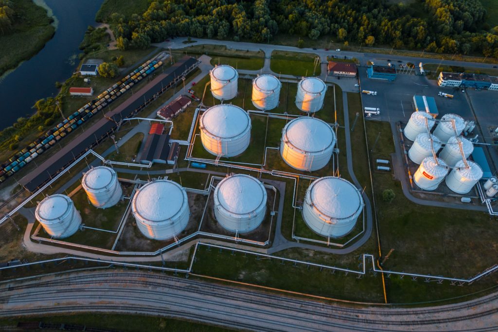
Icaros is committed to applying the latest geospatial tools and technologies, to assist professionals in the global energy industry in managing their assets. Our drone-in-a-box solutions, and expertise in remotely sensed data is crucial to ongoing mission-critical activities such as site planning, construction corridor/right of way (ROW) management, perimeter security, high consequence area (HCA) risk analysis and pipeline integrity analysis. Icaros’ oblique, thermal Infrared (TIR), near infrared (NIR) and RGB (true color) photogrammetry provides precise aerial views of petroleum and gas pipelines and corridors.
Our experience over the last decade has benefited oil and gas industry clients by applying our remote sensing expertise and imagery products, and supplying applications ranging from change detection and pipeline integrity to leakage detection.