Introduction to Icaros
Leading The Way Towards New And Innovative Solutions
- Comprehensive Turnkey Geospatial and GIS Solutions
- Data collection - remote Sensing from Manned and Unmanned Aircraft
- Photogrammetric, 3D modeling, and LIDAR Processing Services
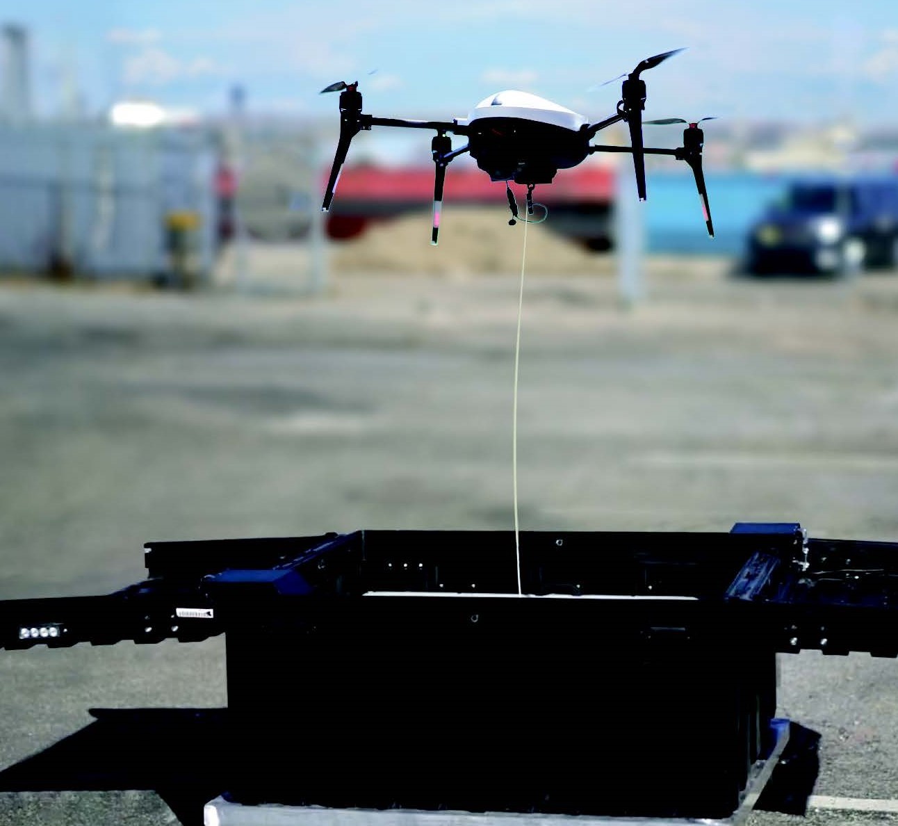
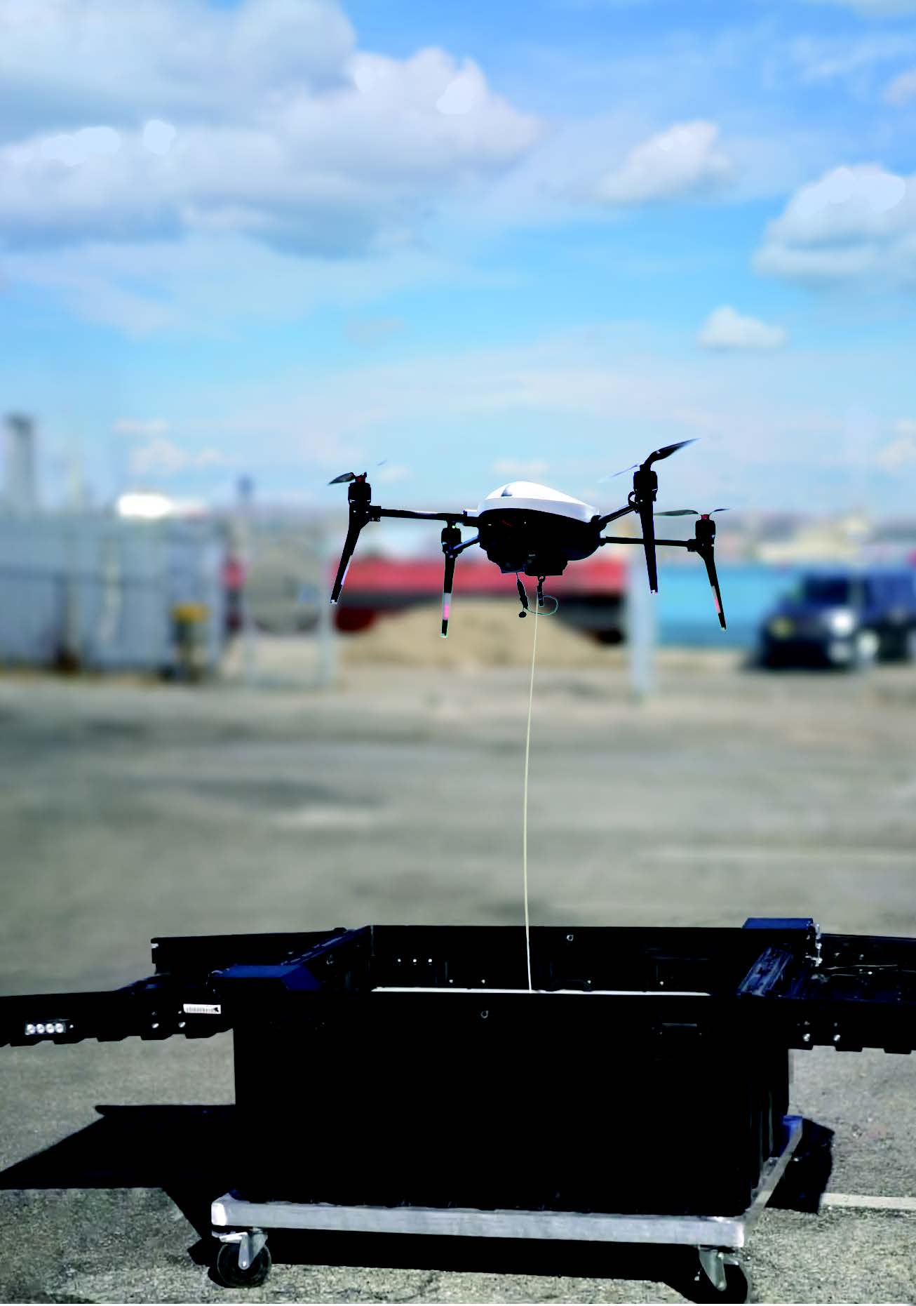
- Autonomous and Tethered Drone-in-a-Box Systems
- Cloud-based Analytics – from custom artificial intelligence and feature recognition, to sophisticated time series analysis to energy efficiency
- Video production services
What People Say About Us

"I want to thank you personally as well as on behalf of the entities involved, for the strong performance, responsiveness, ability to take initiative, continuous improvement and excellent technology development that Icaros folks have delivered."

"Icaros and Harris Geospatial Solutions have partnered to provide their technologies, OneButton™ and ENVI® respectively, to provide customers with a complete and continuous workflow for processing UAV and aerial images into georeferenced 2D & 3D maps and models."

“We are excited about the new MapInfo App we developed with Icaros. This App lets MapInfo customers order remote sensing projects directly from within MapInfo. Our customers benefit with immediate access to high-resolution data and actionable information that enables better business decisions.”

"We really see the value in both Icaros as a partner providing data processing solutions as well as a software company providing us with some of the best image processing in the business."
Nelson Paez, CEO, DreamHammer Corporation
Latest News
More News
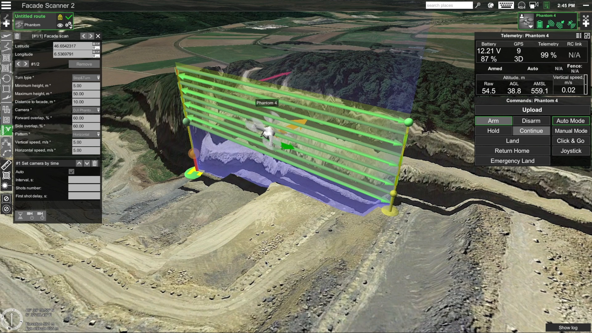
Various tools for surveying horizontal surfaces, even the uneven ones, have been developed to a high standard and are widely available on the market.
In the near future, the photogrammetry
industry will be able to provide city and county managers the ability to visualize their cityscapes using 3D views for varying types of analysis.
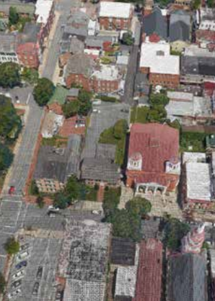
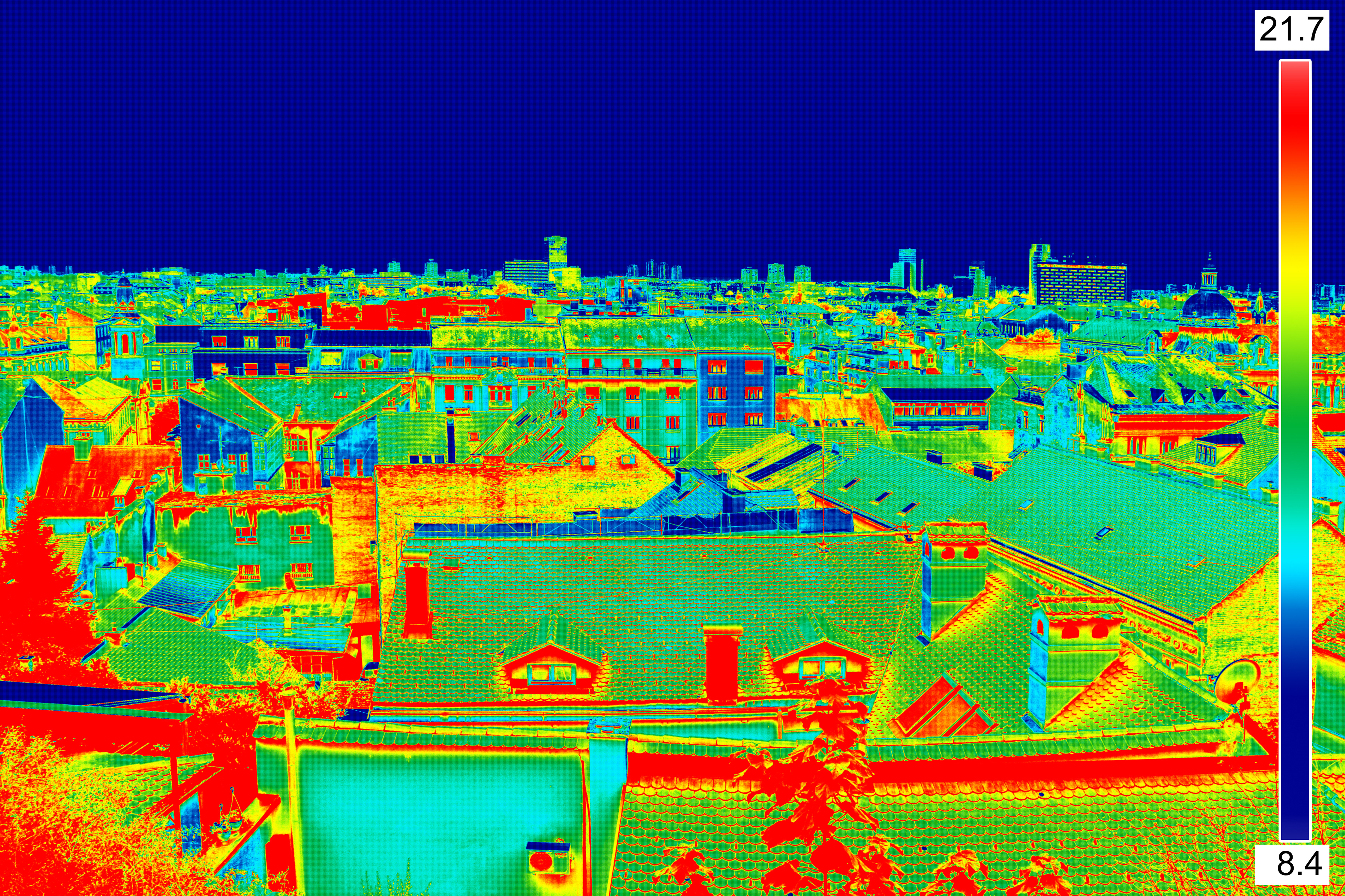
In using thermal imagery, infrastructure
managers can determine roof locations where more insulation is needed to reduce heating costs.
